Accompanying Report: Ehime Prefecture’s Cycling FAM Tour 2025 for Overseas Media
#03
The more you ride, the more you begin to understand the culture rooted in a place and the depth of its character. That is true almost anywhere in the world. Yet somehow, Ehime Prefecture has a way of making you feel that it might be something special.
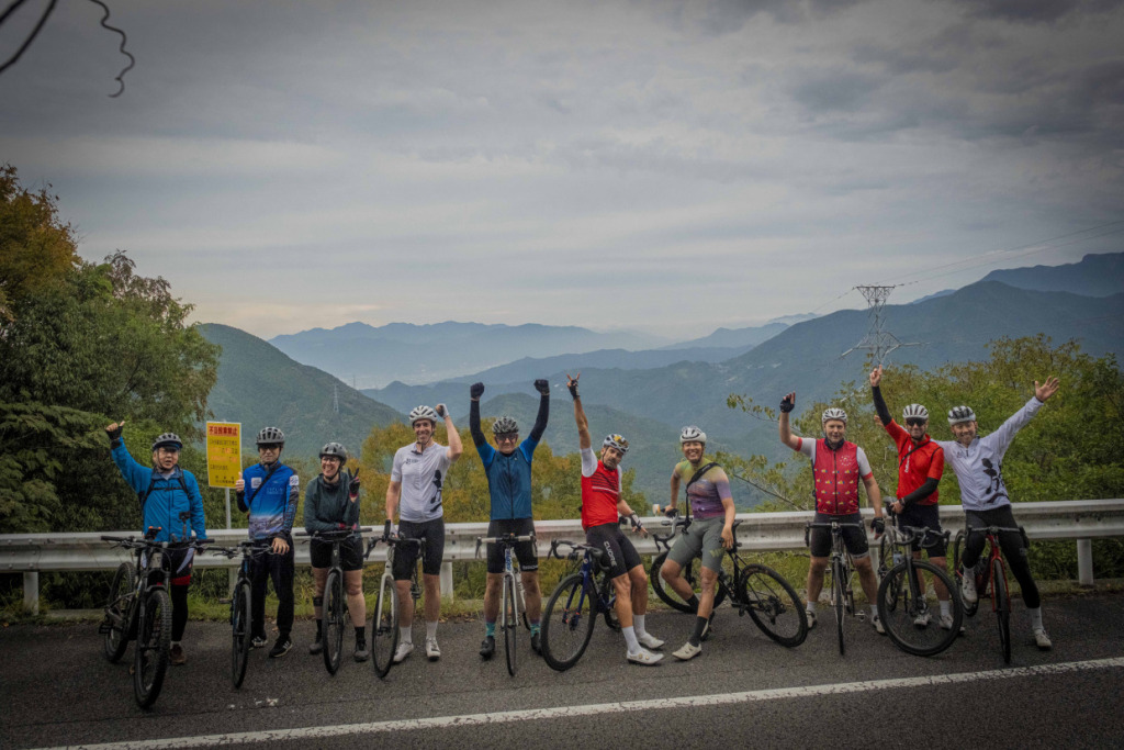
Over the course of seven days, Australian cyclists repeatedly expressed their amazement at the roads that traverse every corner of the landscape—from the wave-lapped coastline to mountain ranges rising more than 1,500 meters above sea level.
Here is the final installment of the Cycling Monitor Tour 2025, presented by photographer and cyclist Eigo Shimojo.
Text & Photos by Eigo Shimojo
You can read Article #01 and 02 here.
🚴♂️Ehime Prefecture Presents Cycling FAM Tour 2025 Report for International Media
#Day1 ~ Day2
#Day3 ~ Day4
#Day5 ~ Day6
Table of Contents
DAY 5: Uwa Sea – Yawatahama City – Cape Sada
DAY 6: Ozu – Iyo-nada Sea – Tobe Town – Matsuyama City
DAY_5 Uwa Sea – Yawatahama City – Cape Sada
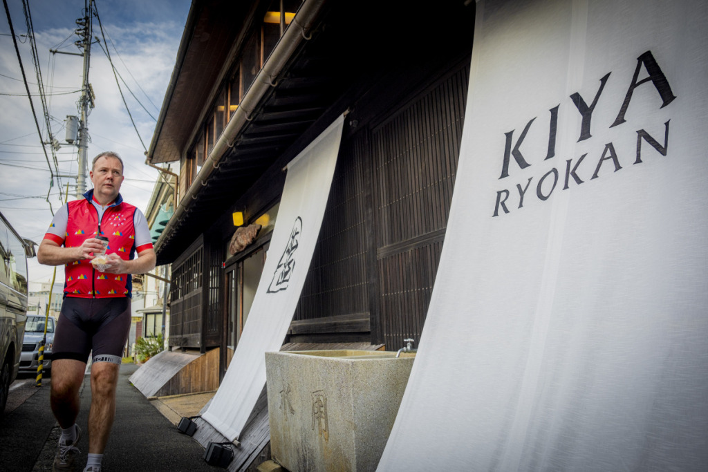
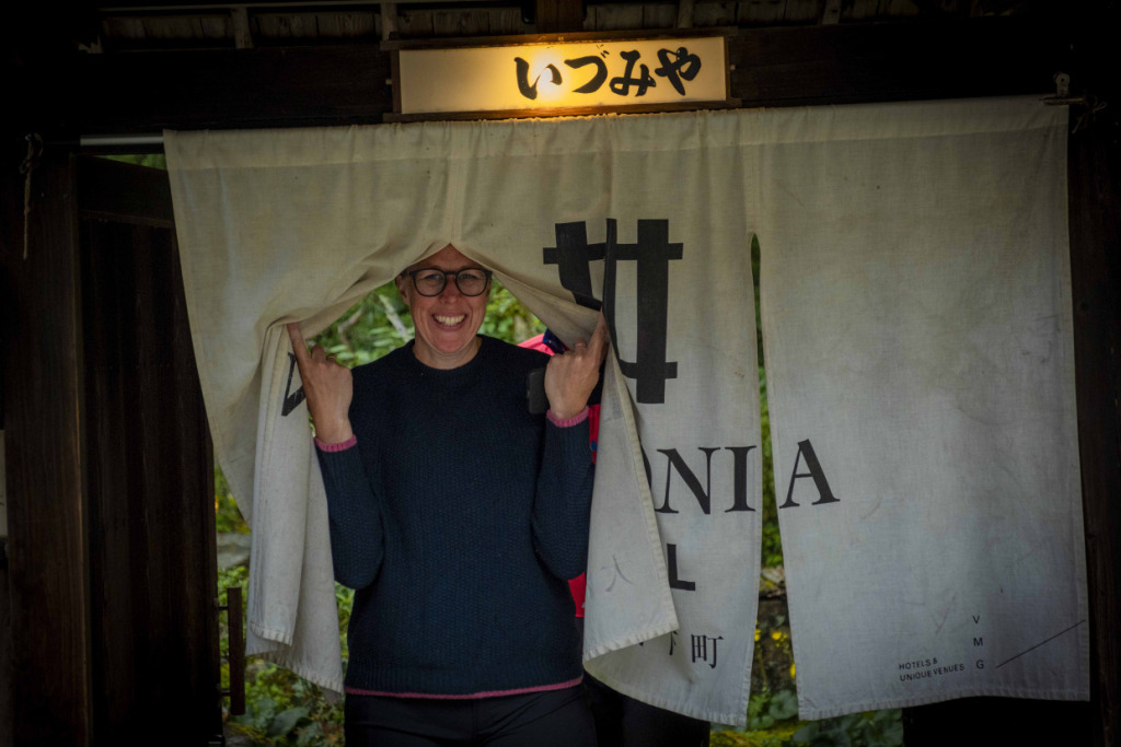
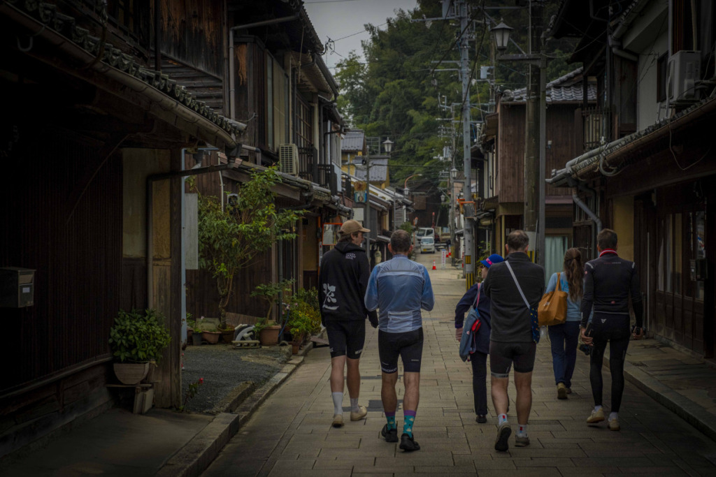
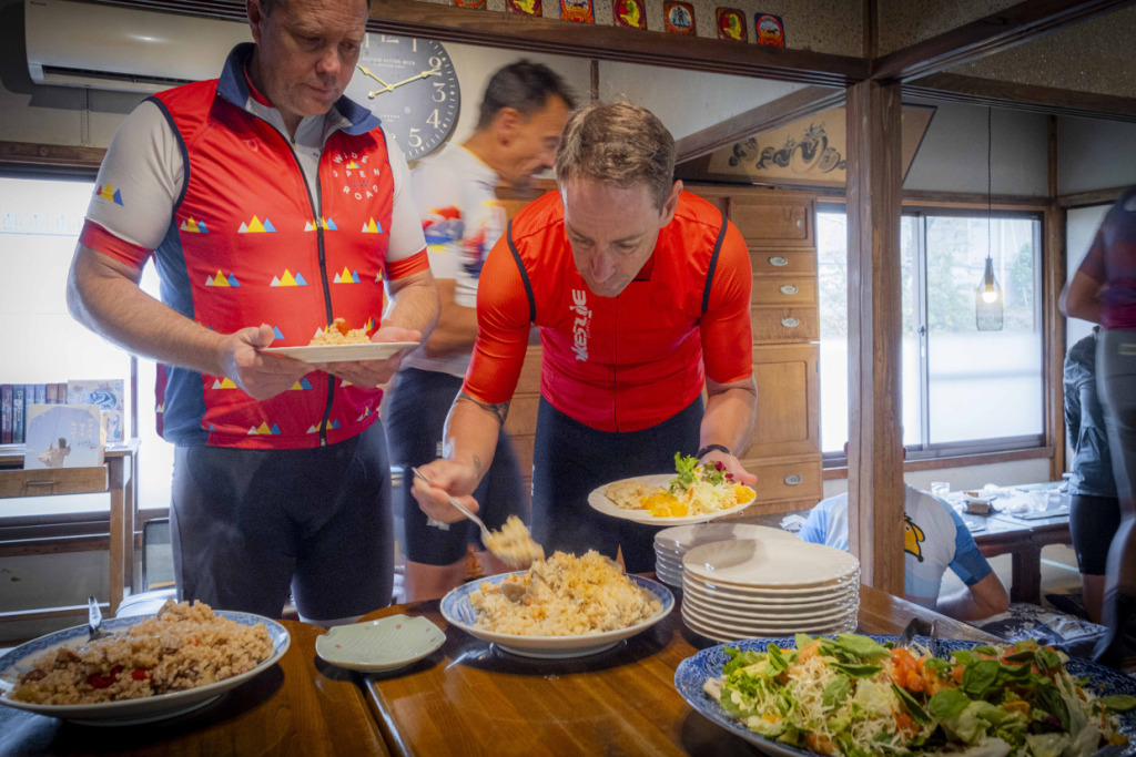
The night before, we enjoyed a lively evening in town for the first time in a while. At an izakaya in Uwajima, we savored local sake and fresh seafood from the Bungo Channel. Our accommodation was the historic Kiya Ryokan, a wooden inn that has been beautifully restored with a modern touch.
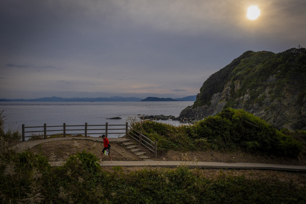
The next morning, the riders step out through the noren curtains of the inn, clearly delighted by the refined Japanese atmosphere of the after-ride stay. The weather is perfect again today—clear skies, calm winds, and ideal conditions for cycling. Leaving Uwajima behind, we continue north along the coast of the Uwa Sea, just as we did yesterday. Our first destination today is the port town of Yawatahama in Seiyo.
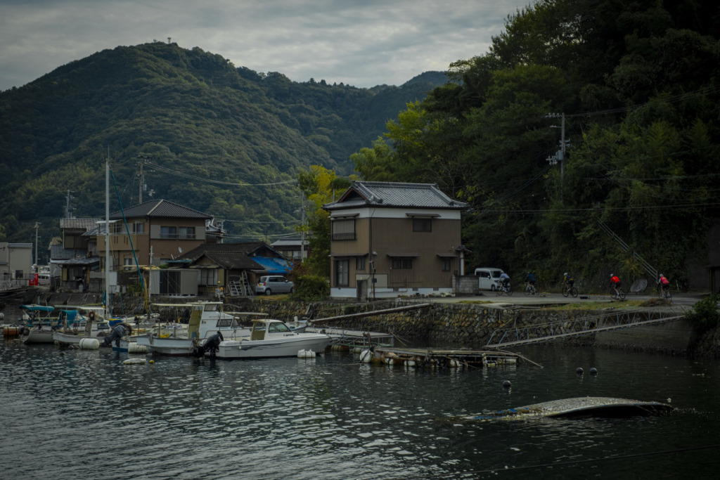
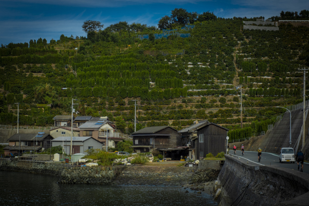
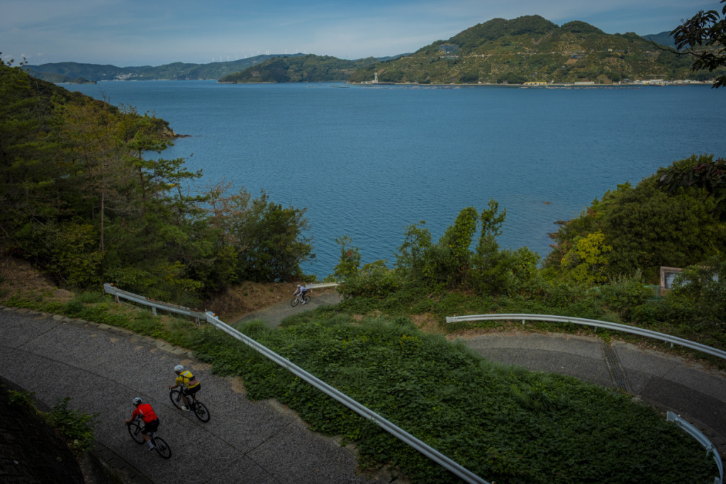
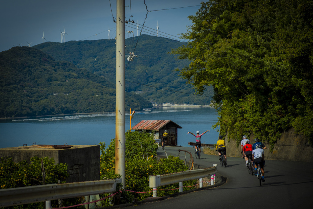
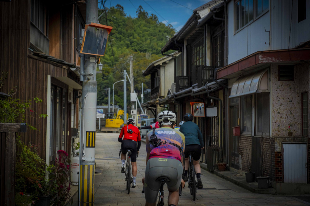
The road traces a deeply indented coastline, passing small fishing villages nestled in quiet coves where boats and aquaculture rafts float on the water. The harbor towns feel peaceful and nearly empty, with only the occasional figure moving on a moored boat. Perhaps the morning’s fishing and market have already finished. In these quiet ports stand a small post office, a small local shop.
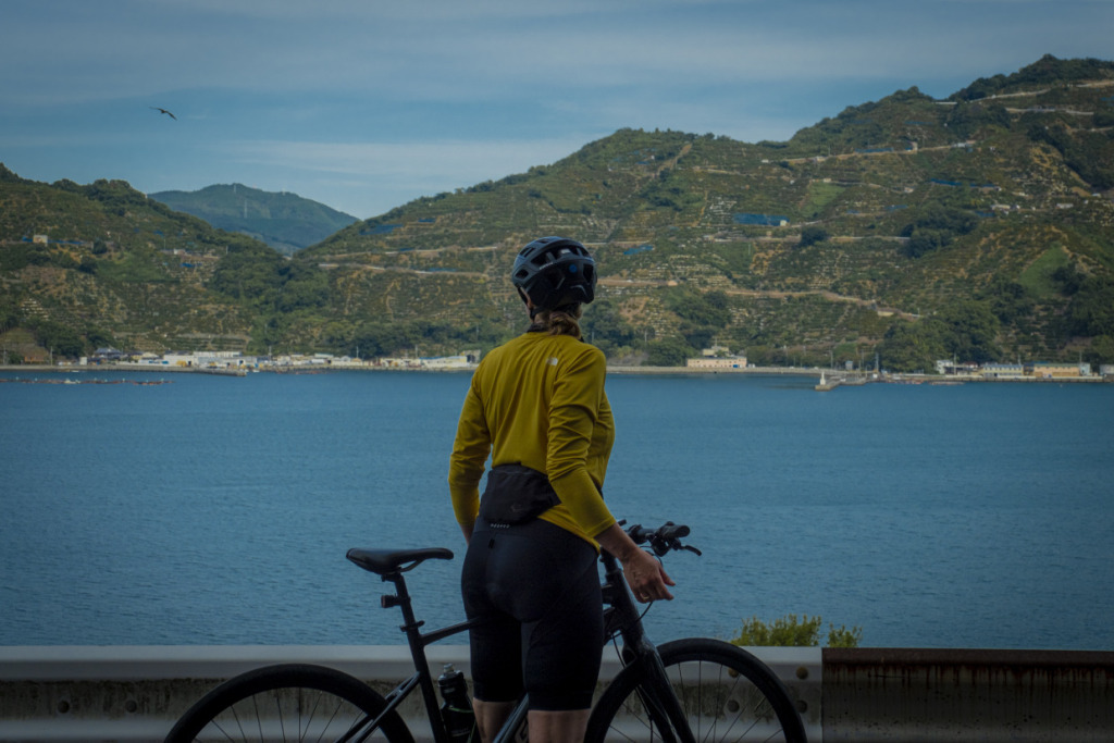
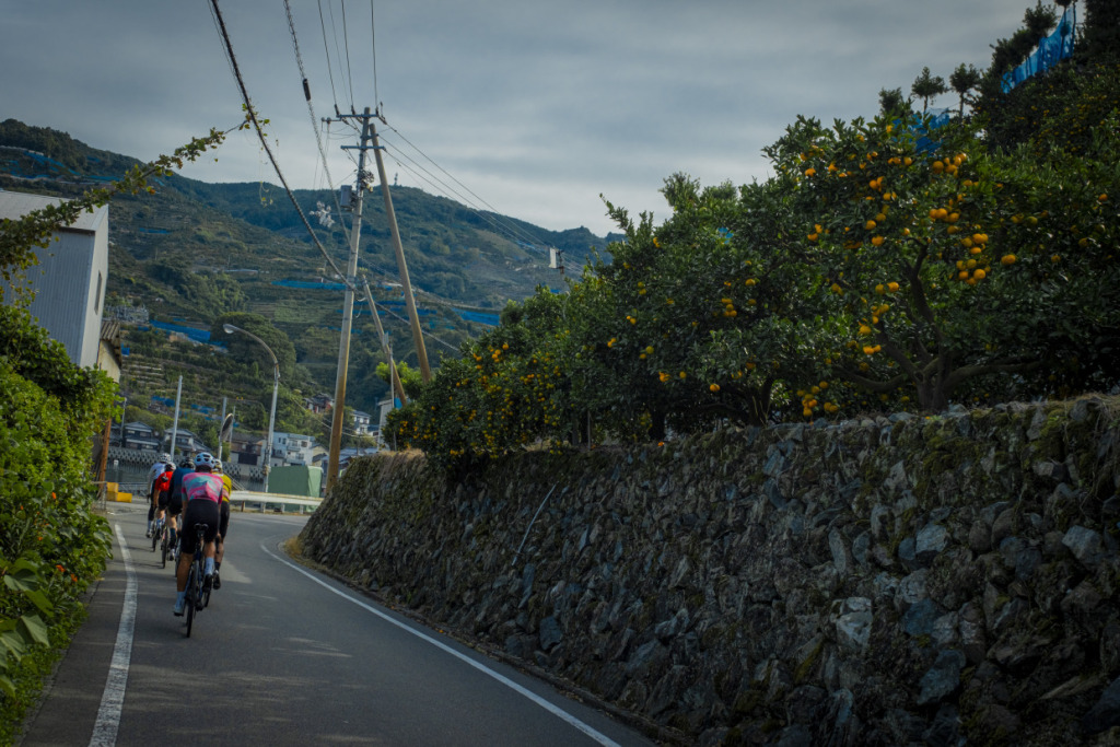
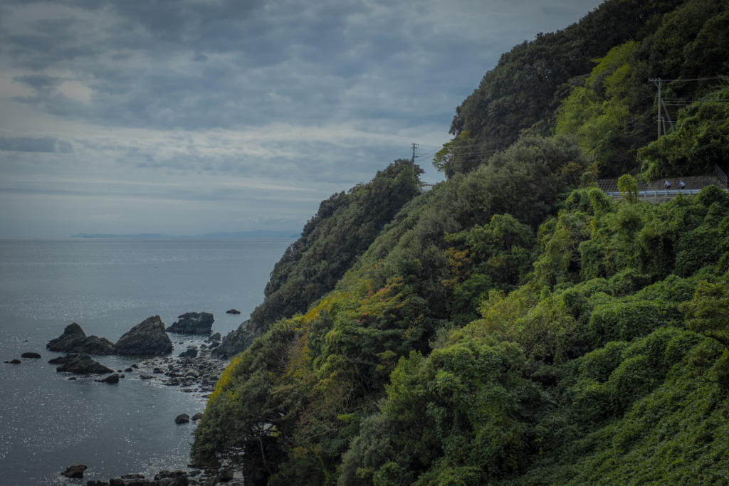
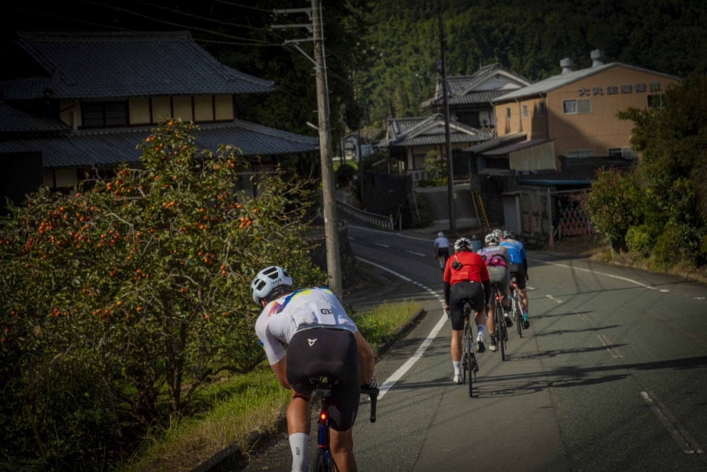
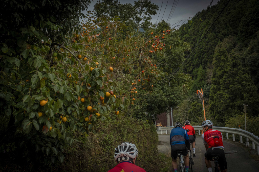
We pass through villages that cling to the back of the coves, then climb yet another hill. Steep slopes rise straight up from the shoreline, layered with traditional stone walls built in rough masonry. Above them lie small terraced citrus groves, their fruit glowing bright orange in the sunlight. The contrast with the green-tinged stone walls is striking. The green color, we learn, comes not only from moss but also from the local stone itself—green schist quarried in the region.
It is scenery more than capable of stirring the traveler’s imagination. And the day has only just begun. Rounding one more cape, we begin a downhill run toward a wide bay. Ahead, the harbor of Yawatahama comes into view.
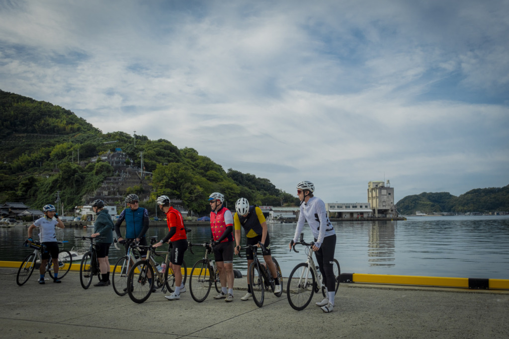
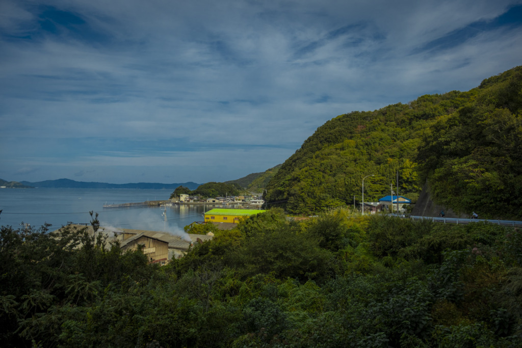
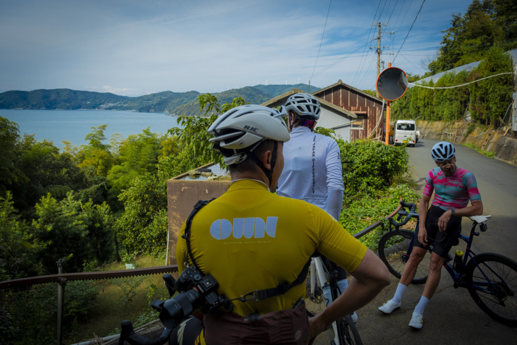
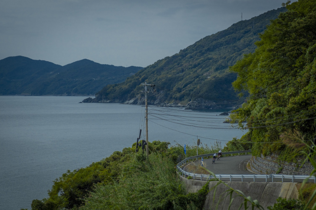
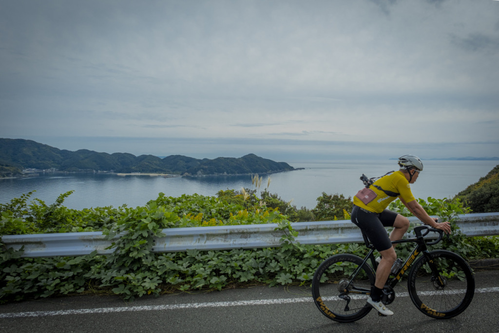
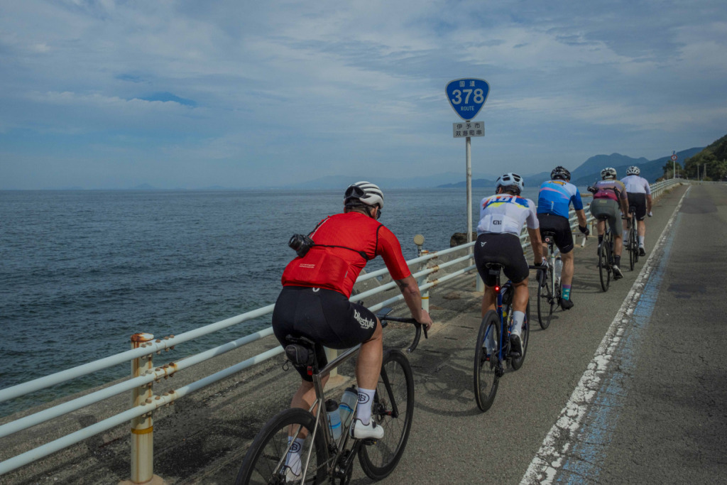
Yawatahama is a port town that has long prospered through mandarin cultivation and fishing. It also serves as a hub for ferry routes connecting Shikoku and Kyushu. Taking a short break at the harbor, we watch a ferry slowly depart for Kyushu. Off the ship’s starboard side, a rugged coastline stretches westward, rising sharply from the sea. So that must be the Sadamisaki Peninsula.
Separating the Uwa Sea to the south from the Seto Inland Sea to the north, this peninsula extends westward like the tail of a dinosaur and marks the westernmost tip of Shikoku. From its base near Yawatahama to the lighthouse at its end, it stretches about 50 km, while at its narrowest point it is only around 700 meters wide—making it the narrowest peninsula in Japan. Its rugged terrain resembles the ridgeline of a mountain range rising straight from the sea. In fact, the peninsula itself is something of a geological specimen, preserving traces of how the Japanese archipelago was formed in ancient times.
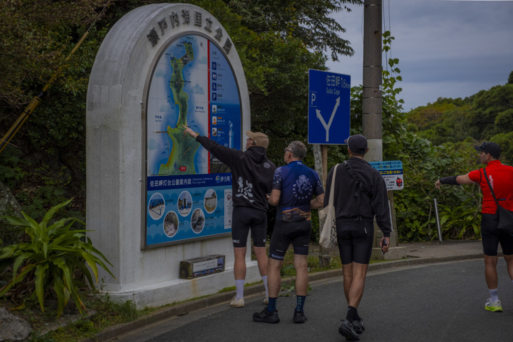
Even as a destination, the peninsula is fascinating enough. But cycling friends from western Japan unanimously recommend it as an unforgettable ride: a roughly 100 km round-trip route packed with dramatic scenery.
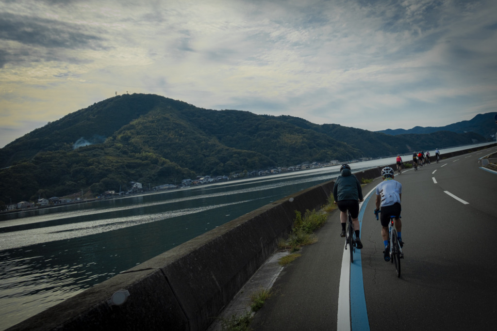
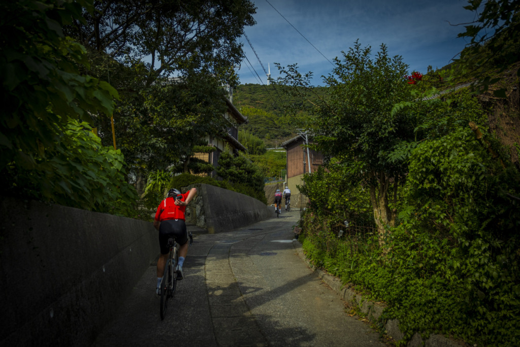
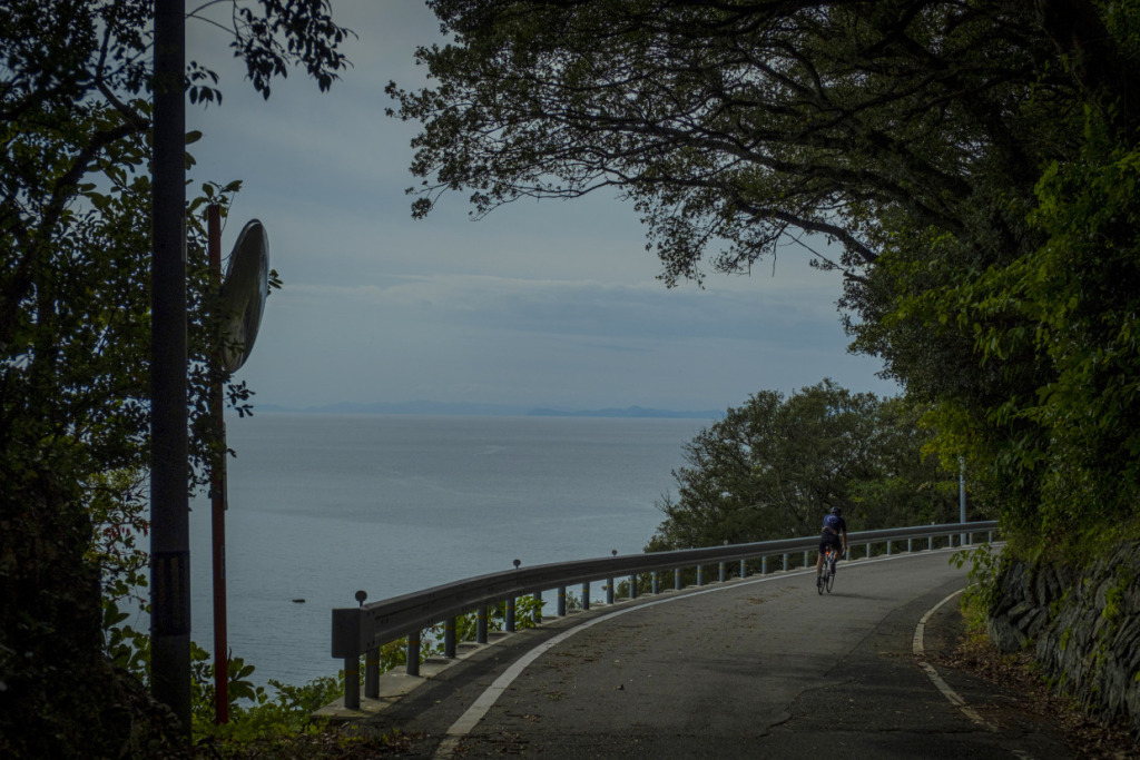
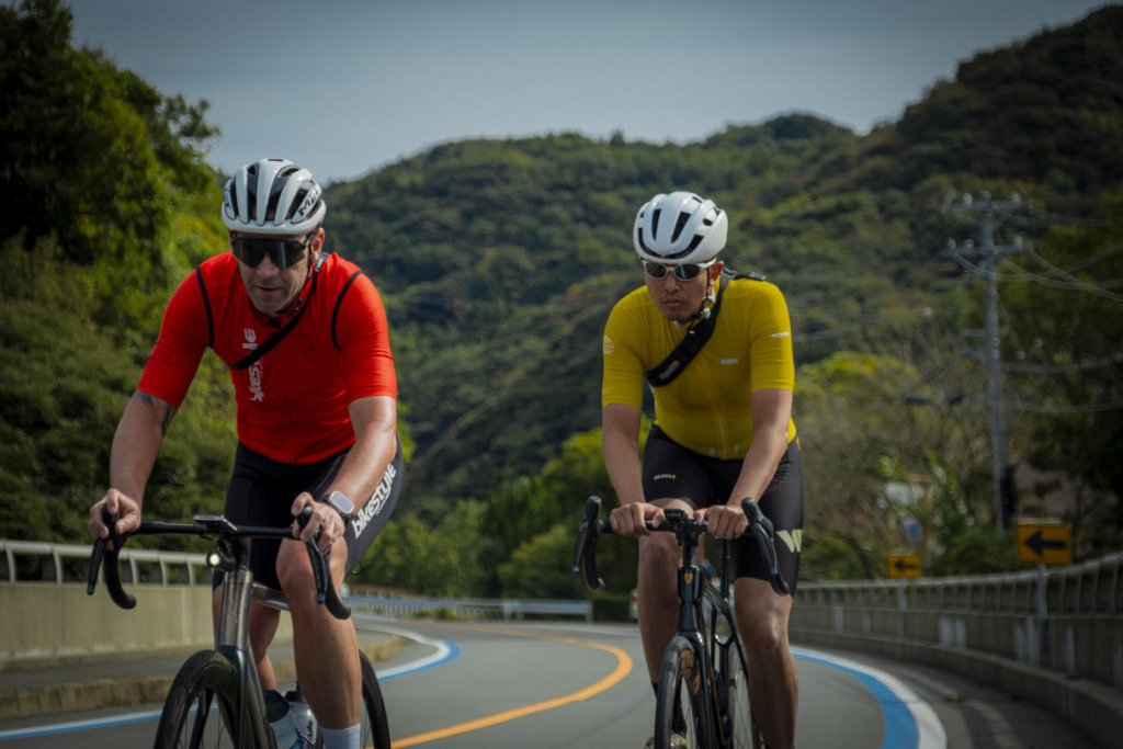
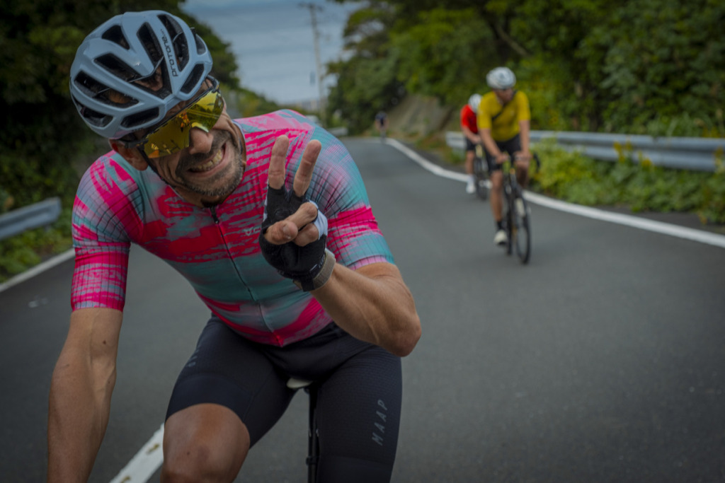
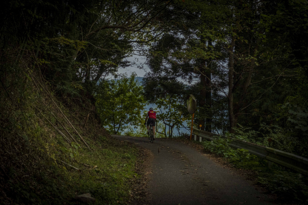
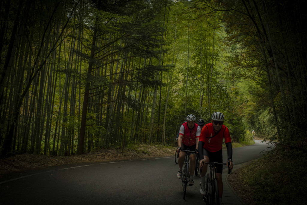
With growing excitement, our group points the wheels west and enters this captivating peninsula. The idea of a mountain ridge rising from the sea is no exaggeration. The slopes climb steeply from the coastline, sometimes forming sheer cliffs, while the land folds inward like pleats along a deeply indented shore. Small villages cling to rare patches of flat land in coves or on ridges, connected by narrow roads that traverse the mountainsides. Though the elevation is relatively low, the route profile feels unmistakably like a mountain ride.

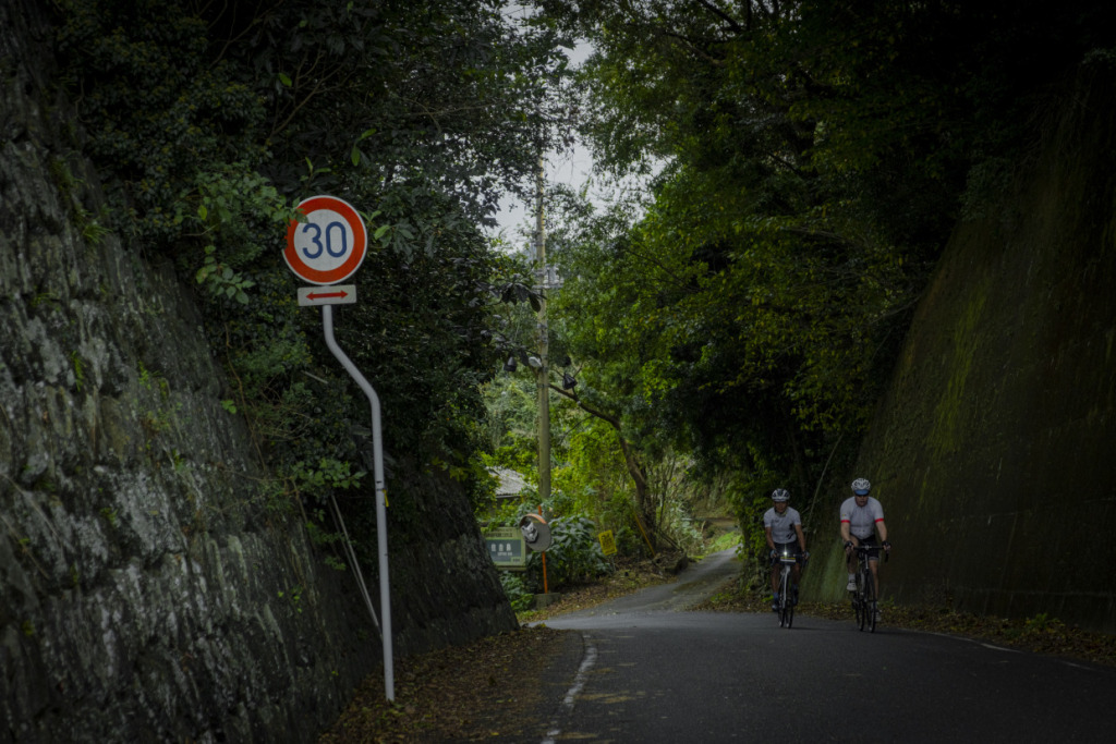
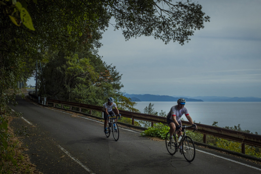
Punchy ups and downs continue one after another. On an overhead map, the peninsula looks slender and fragile, but the tightly packed terrain hidden within quickly scattered our train of riders. Even so, the views are incomparable. The magnificent rias coastline of the Uwa Sea, which we have been linking together since yesterday, reaches its climax here at Sadamisaki. Today, it seems each of us will face this road in our own way—savoring the terrain on a slow, thoughtful solo ride.
Climbing steeply from a small fishing village, we gain height and look out over the rich waters of the Bungo Channel and the Uwa Sea. Last night’s dishes—horse mackerel and vinegared mackerel—must have come from these very waters. Now they have become our fuel. We continue heading west, the same sea always beside us and the same road stretching ahead, yet strangely the ride never grows dull. Perhaps it is because the twisting, steeply graded route constantly updates the scenery. Thinking of the hardships and perseverance of those who once carved roads through this rugged peninsula and sustained life on such narrow land, one cannot help but feel respect. In just 50 kilometers of road, the depth of time and the condensed character of the land are vividly etched—making this a truly rare and memorable ride.
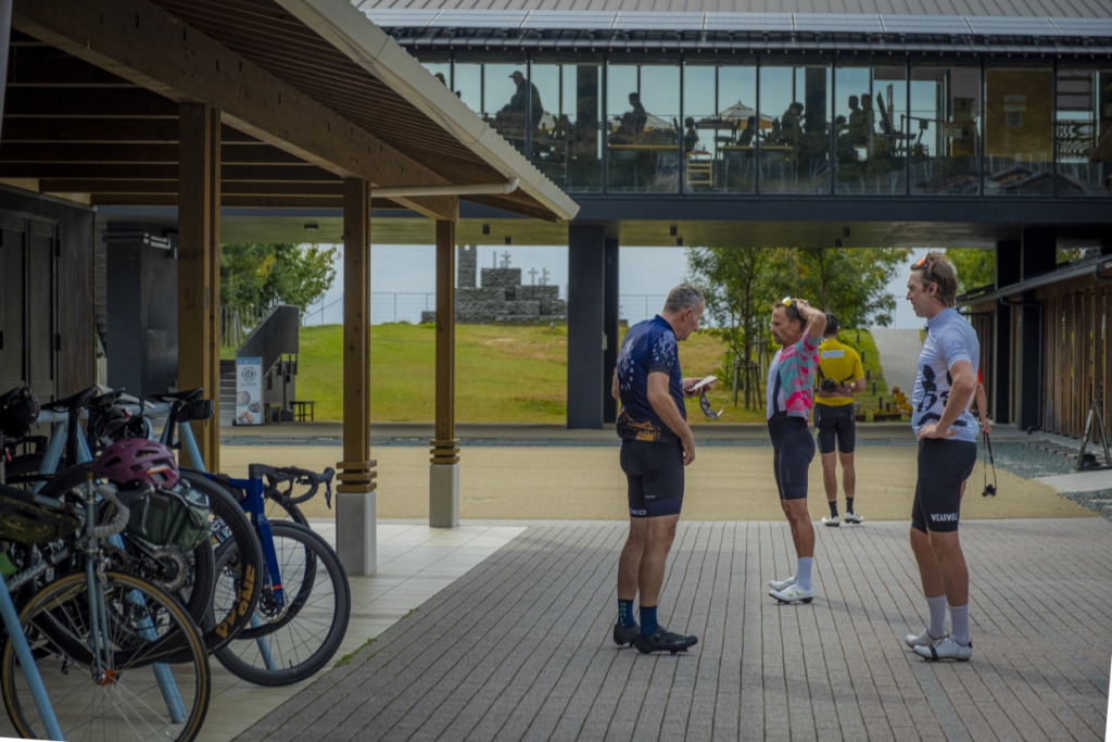
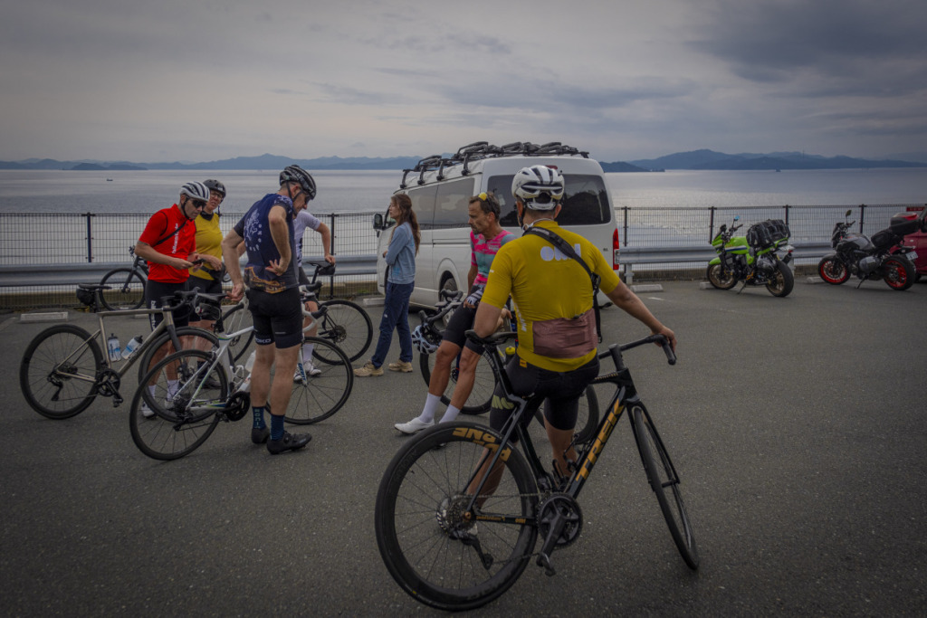
In recent years, a bypass connecting the ridge along the top of the peninsula has been completed, making access much easier. New points of interest have also been appearing. One of them is “Minato Oasis Sadamisaki Hanahana” at Misaki Port (https://www.shirasu.jp/park/), where we make a stop. Inside this modern and urban-style facility—an interesting contrast to the rugged nature of the Sadamisaki Peninsula—are shops and eateries offering a wide range of locally flavored products.
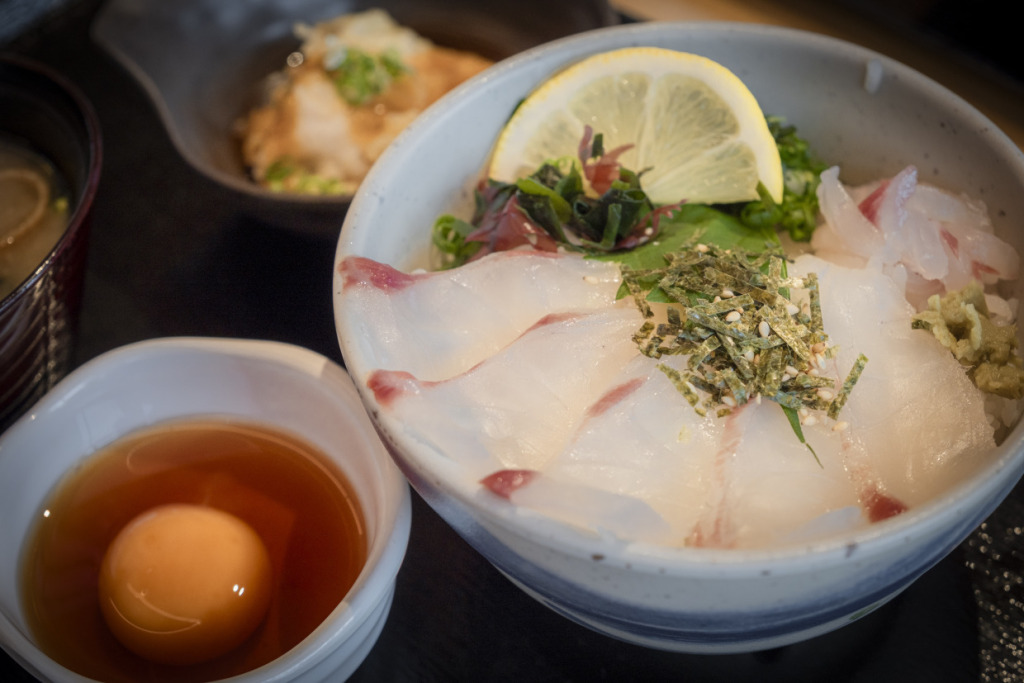
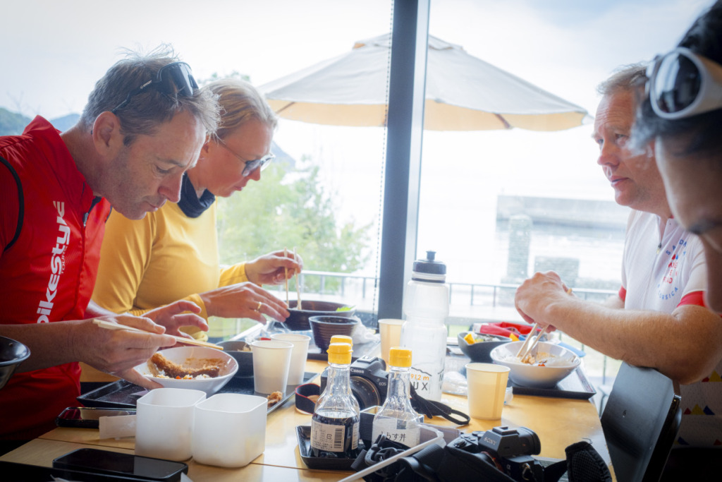
For lunch, we enjoy Uwajima’s traditional fisherman-style sea bream rice, and after the meal we take time to recover with coffee while gazing out over the sea. Once we regroup our train of riders, the tip of the peninsula is not far away.
The final climb toward the cape is quite punchy. With the sea at our backs, we all tackle the slope together—calling out to one another, occasionally launching small attacks, and racing like children until we reach the finish. The sea that has accompanied us all along the route finally opens wide before our eyes, stretching out unobstructed at the journey’s end.
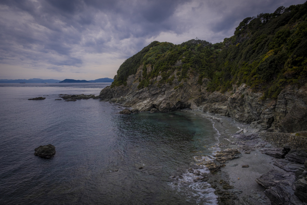
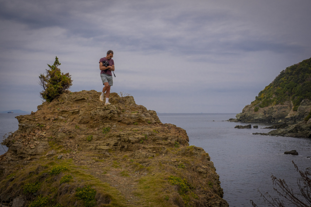
Since we have come this far, we decide to hike about 20 minutes to the Sadamisaki Lighthouse, the true tip of the peninsula. Along the walking trail, shaded by vegetation typical of the mild Seto Inland Sea climate, we stroll slowly on legs still tight from pedaling. Below us, heavy concrete structures—the remains of former military facilities—are washed by the waves. Sadamisaki was once a key point of national defense.
On the other side, Adam* spots a small beach at the edge of the rocky shore connected to the trail. Without hesitation, he kicks off his shoes and wades into the sea. “It’s warmer than I expected,” he says. A surfer’s instinct, apparently—very much in the spirit of an Aussie who loves nature.
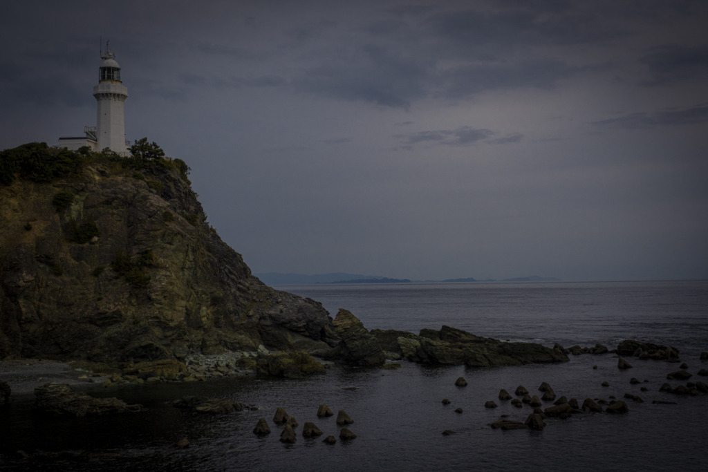
As we emerge from the final stretch of woodland, the view opens onto the Hōyo Strait. Known as one of the most challenging waterways of the Bungo Channel—alongside the Kanmon Strait—the currents here are so complex that even an amateur can clearly see them swirling. Across the water, the outline of Kyushu appears faint in the distance.
Having successfully completed the day’s journey, we exchange fist bumps beneath the white lighthouse, which stands quietly waiting for sunset. With the strait between them, the sky and sea gradually soften into warm evening hues.
*Editor’s note: Adam is from the Australian cycling tour company Bikestyle Tours.
DAY_6 Ozu – Iyo-nada Sea – Tobe Town – Matsuyama City
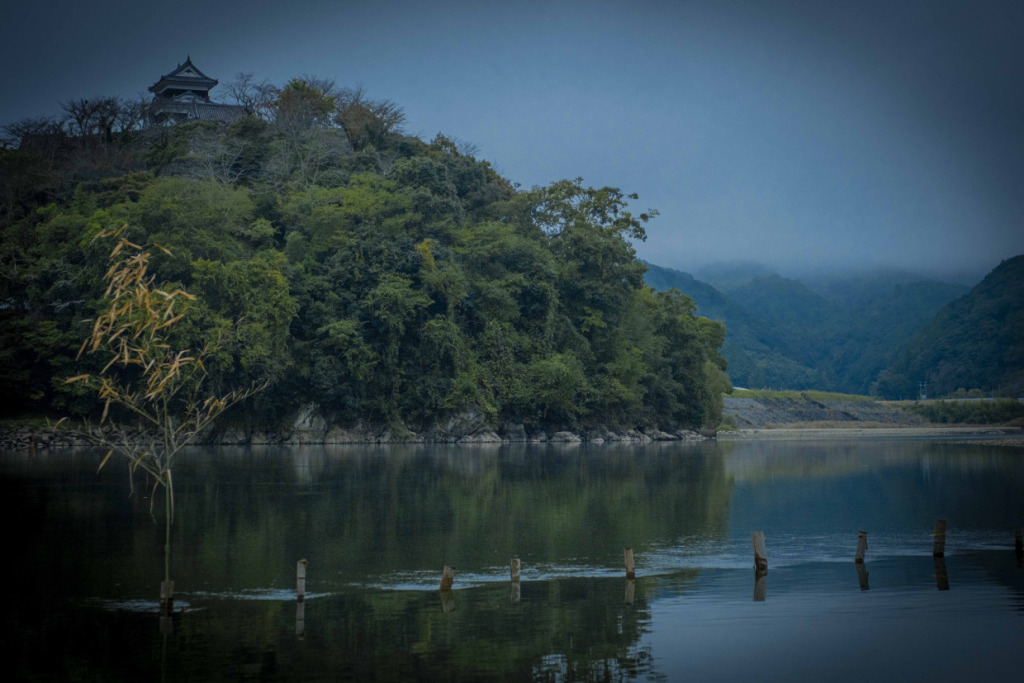
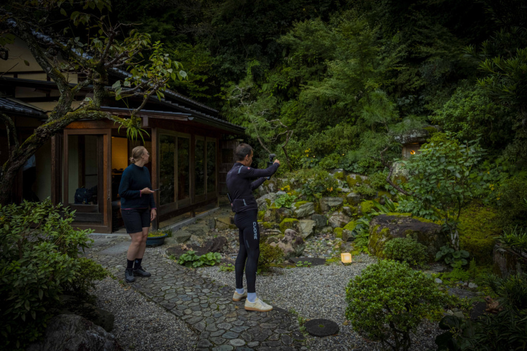
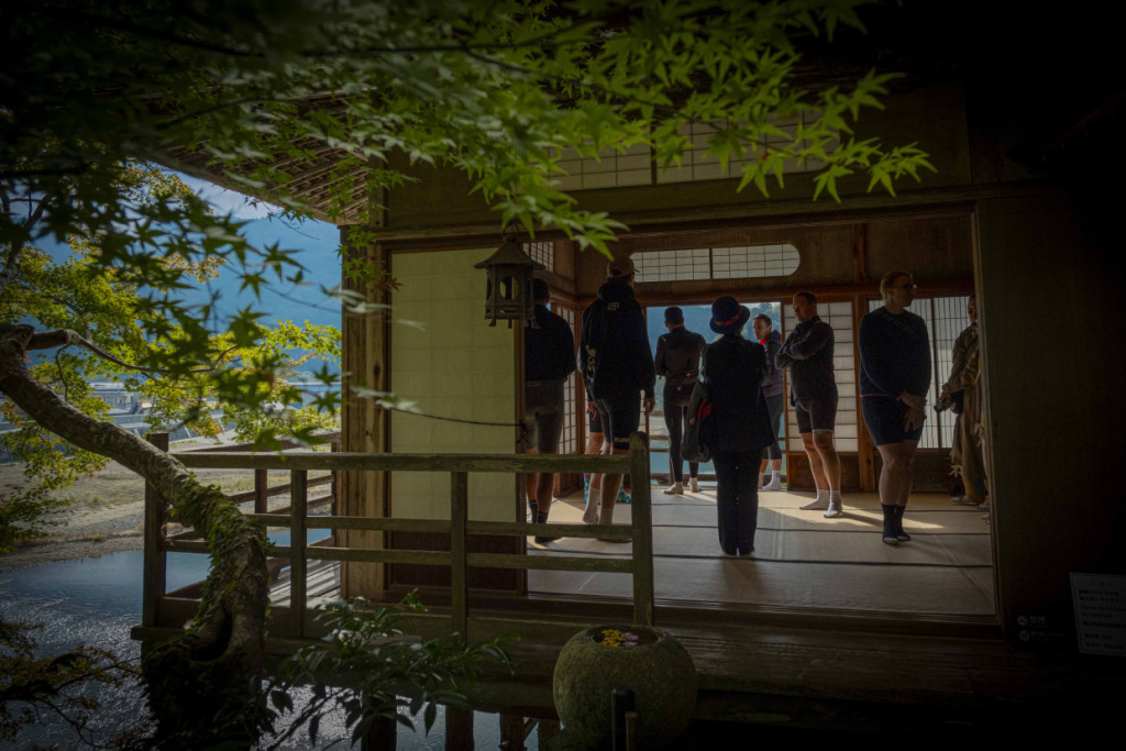
Leaving behind the sunset at Sadamisaki, the group moved inland to the historic town of Ozu and checked in at the much-talked-about NIPPONIA HOTEL Ozu Castle Town. Located in Ozu’s old castle town district—where the atmosphere of a traditional Japanese townscape still remains—this hotel has attracted attention for its approach to community revitalization. Historic buildings throughout the town have been carefully renovated in a modern style and repurposed as part of the hotel. Merchant houses, storehouses, and machiya townhouses are organically connected, with their gates and gardens preserved, allowing guests to experience traditional Japanese living spaces in an immersive way.
For example, you might step out of a machiya-style room wearing a yukata and stroll through town, visit the elegant Garyu Sanso—once the residence of wealthy merchant Torajiro Kawachi—to appreciate refined aesthetics, enjoy a traditional cormorant fishing boat ride on the Hiji River, and even climb up to Ozu Castle. It’s remarkable that such a dreamlike walking route can be experienced alongside a cycling tour around Ehime.
After the unforgettable ride to Sadamisaki, being greeted by this cultural richness felt almost overwhelming—in the best possible way. “The nature is incredible, but the depth of the culture… wow,” murmurs Peeter, while Rob beside him nods in admiration. Hearing their praise makes us feel strangely proud, as if the compliment were directed at us ourselves.
*Editor’s note: Peeter is from the cycling media outlet Pedal Brisbane, and Rob is from Ride Media.
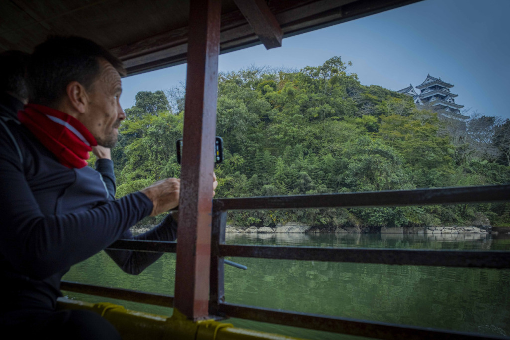
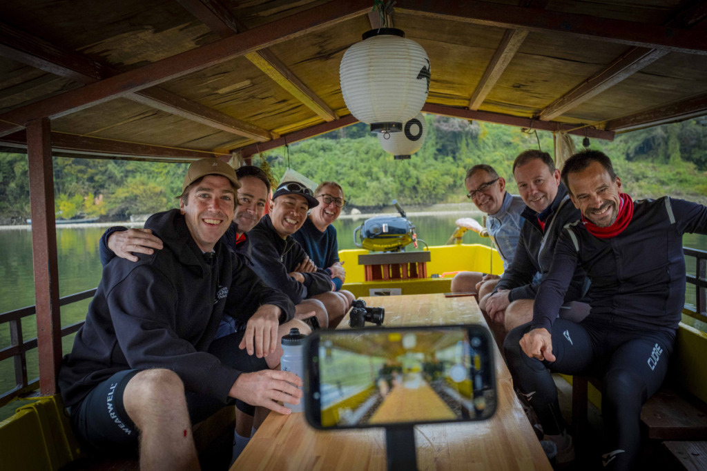
Saying farewell to Ozu, we set out on the final ride of the journey. Following the Hiji River—where we had enjoyed a boat ride the day before—we headed north toward the sea. With the gentle downhill and a tailwind from the river at our backs, we cruised along at speed, reaching the coastal town of Iyo-Nagahama at the river mouth in no time.
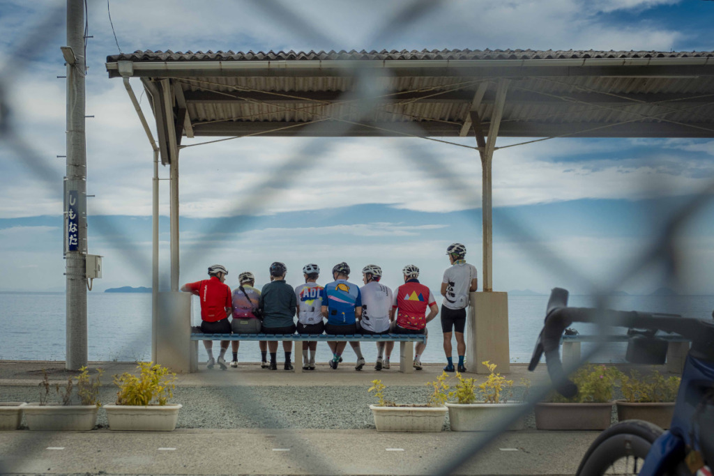
Turning left onto National Route 378, the seaside Yuyake Koyake Line along the Iyo-nada Sea, the smooth highway quickly turned our group into an express train, carrying us forward with such momentum that it felt as though we might continue straight to the final stop in Matsuyama. Even with a brief detour to the photogenic Shimonada Station on the beloved Yosan Line, the pace never really slowed.
But when our eyes met those of our guide, Sam, he flashed a knowing smile—as if to say, I’ve prepared a special route for you. It was a reminder that this year’s tour had surprises in store until the very end. Of course… we should have expected that.
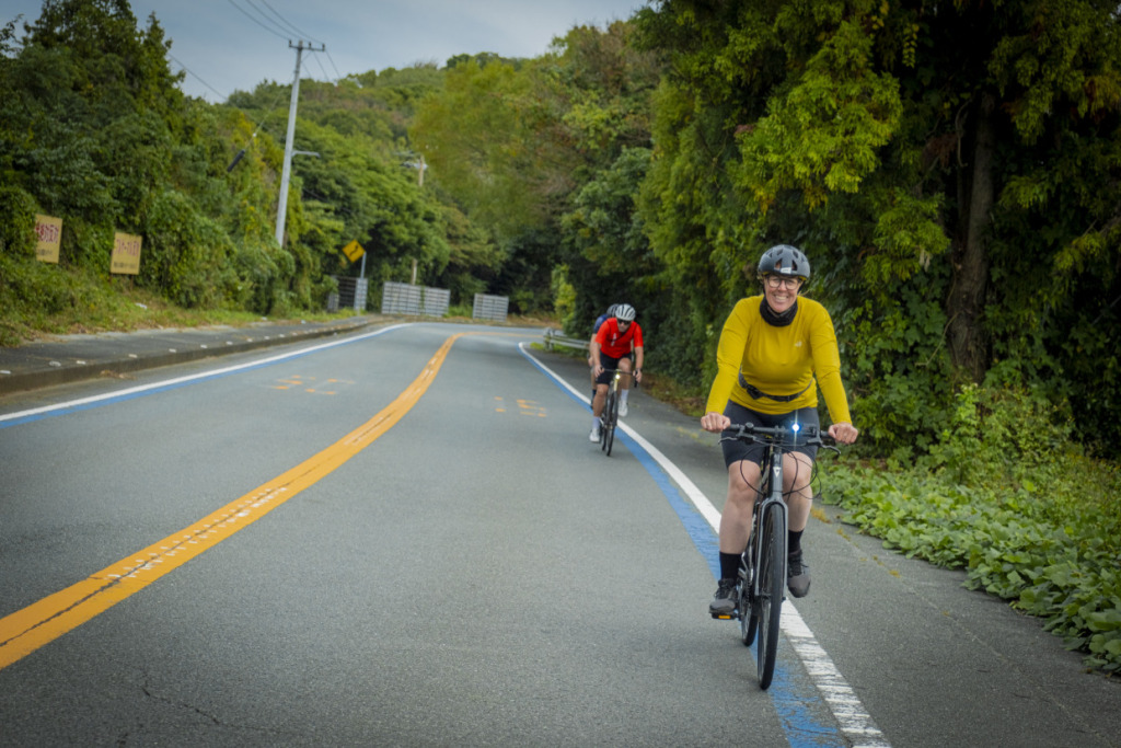
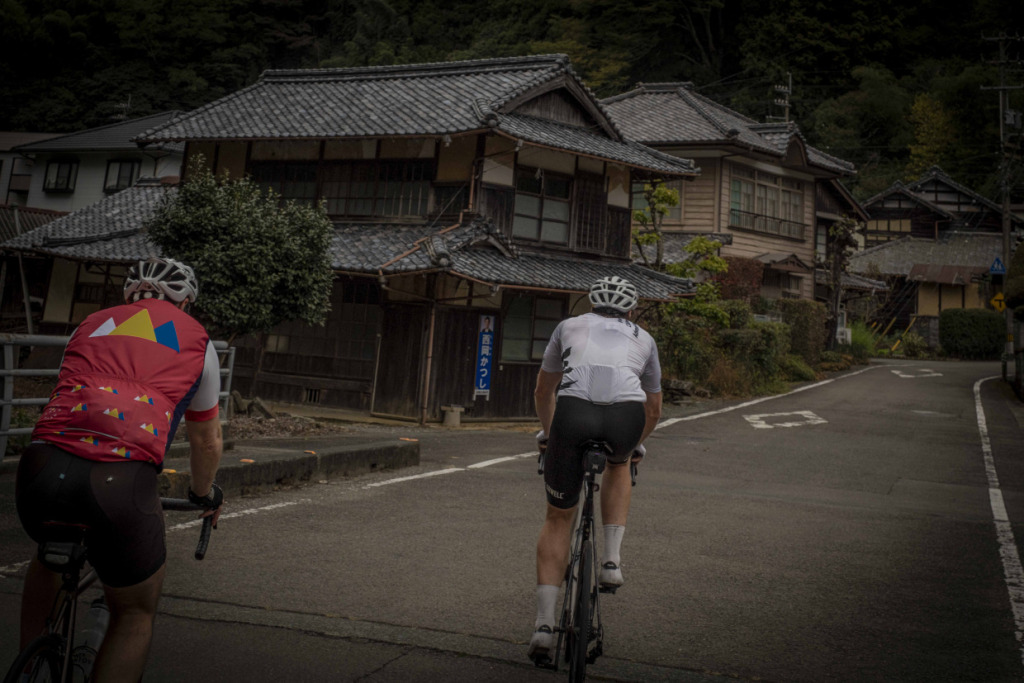
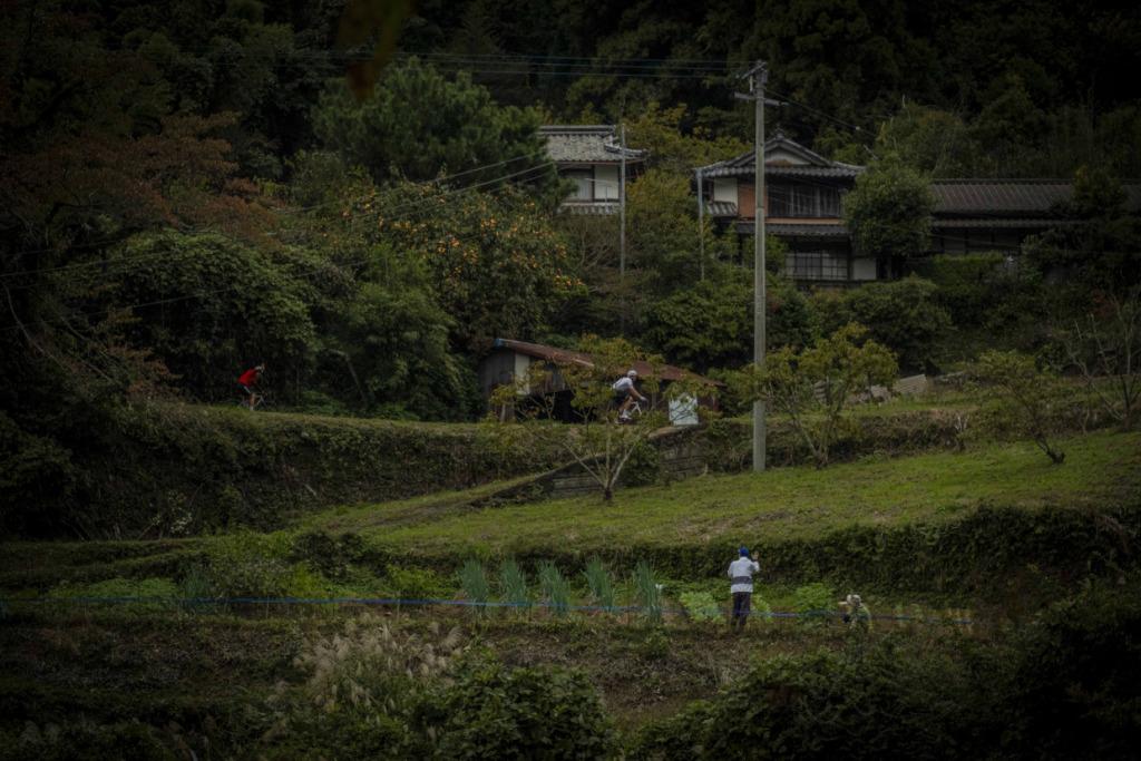
Even though the goal—Matsuyama—is already within sight, Ehime still has a few surprises up its sleeve. Leaving the national highway behind, we turn our backs on the Iyo-nada Sea and head inland. Sensing the approach of a climb, the group instinctively braces itself. Yet what appears before us is a soothing landscape of satoyama countryside—rice fields and small mountain villages—perhaps the most tranquil scenery of the entire trip.
Drawn into a scene that feels like something out of an old Japanese folktale, we ride deeper into this timeless landscape. It is not a famous tourist spot, nor is there anything particularly flashy about it—yet somehow it feels extraordinary.
In the rural hamlet of Saredani, we stop for lunch at the charming old farmhouse café nodoka saredani. In a cozy tatami room, we are served authentic Italian cuisine prepared with abundant local ingredients—an unexpected encounter that becomes one of the most memorable moments of the journey.
Who would have imagined that such a superb cycling route could be hidden in the hills just 10 km from central Matsuyama? Combined with sightseeing in the city, it would make for a wonderfully fulfilling day of riding.
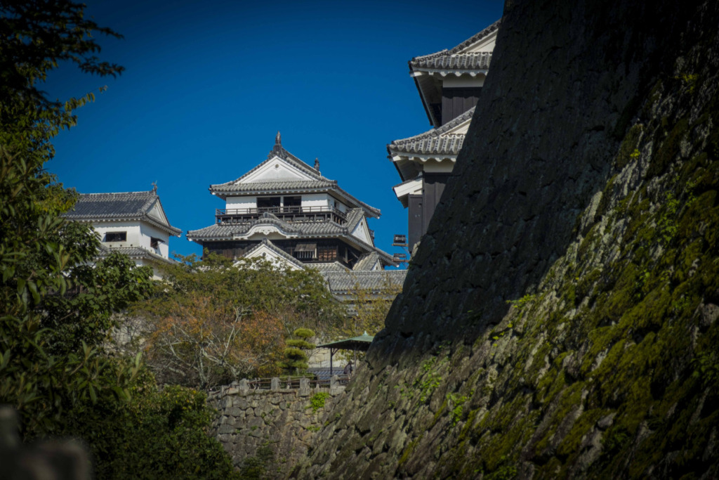
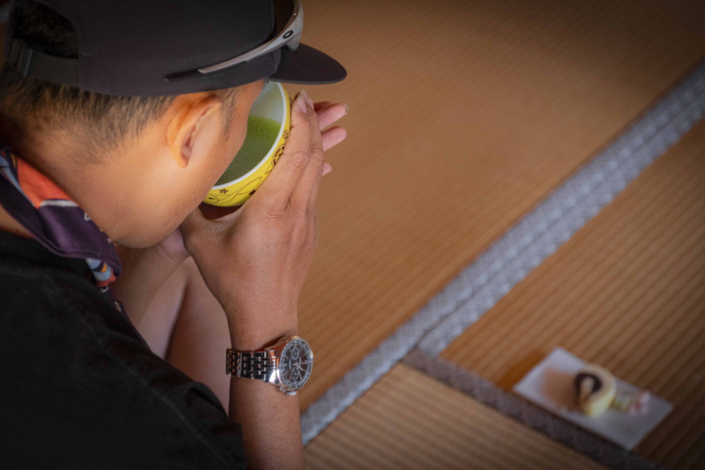
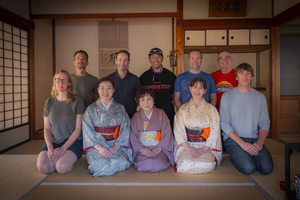
Following landscapes that seemed straight out of a traditional Japanese folktale, the group enjoyed the final stretch of the route before passing through Tobe, a town known for its pottery, and arriving in Matsuyama. At Matsuyama Castle, we experienced the tea ceremony, taking a quiet moment to settle our minds before reaching the journey’s final destination, Dogo Onsen.
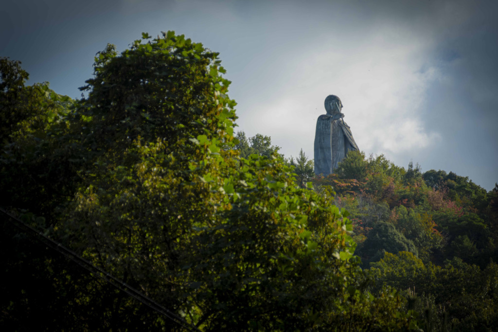
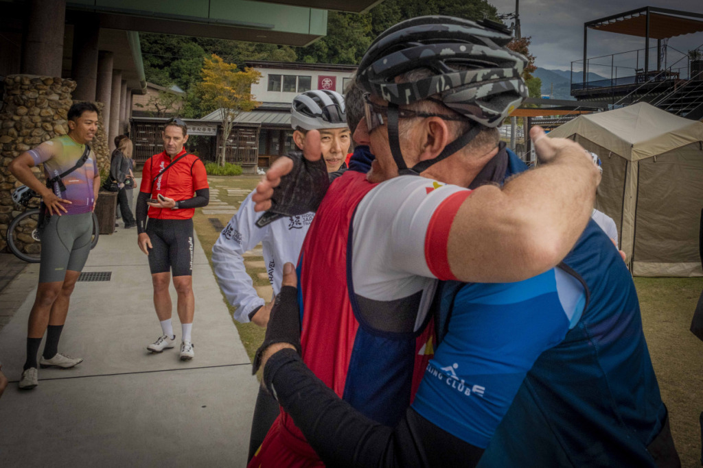
On the hill above Ishite-ji, the 44th temple on the Shikoku pilgrimage route, Kobo Daishi seemed to welcome the group once again after completing their ride around Ehime. After a full week of sharing both challenges and joys on the road, hugs were exchanged all around.
This year marked the second edition of the tour, and for me personally it was my second lap around Ehime. Yet travel has a way of never becoming mere repetition. The saying “a journey is made by the companions you travel with” could not be truer—the new friends from Australia made the experience all the more special. There are still countless roads we did not ride together. Perhaps Kukai himself once walked with that same feeling.
A journey never truly ends. As I soaked in the waters of Dogo, I found myself once again promising to return to Ehime and discover more of its unknown paths. The End.
🚴♂️Ehime Prefecture Presents Cycling FAM Tour 2025 Report for International Media
#Day1 ~ Day2
#Day3 ~ Day4
#Day5 ~ Day6
🚴♂️Ehime Prefecture Presents Cycling Monitor Tour 2024 Report for International Media
#01 Imabari City Area
#02 Saijo City ~ Mount Ishizuchi ~ Uchiko
#03 Uwajima City ~ Matsuyama City
Profile
Eigo Shimojo
Born in Nagano Prefecture in 1974
Belongs to IPU Japan Photographers Union
He became independent in 2000 as a freelancer and established Greenhouse Studio, which handles a wide range of photography and video production.
His life’s work is pursuing underground HIPHOP and bicycle culture around the world.