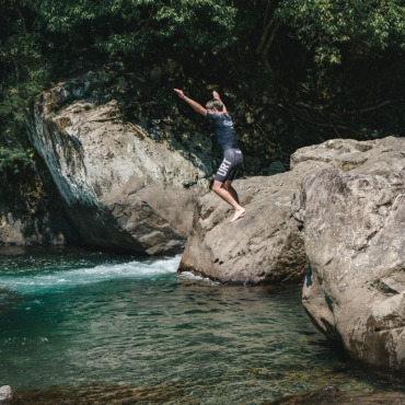
– A 3-Day, 2-Night Adventure Around the Mountains and Sea (Part 1)
Hello, this is Ontama Negitoro. I was reminded of a conversation I had with a Spanish hiker when I cycled the Camino de Santiago in Spain before the pandemic. He asked me, ‘Have you been to the Kumano Kodo? You really should go!’ The ‘Camino de Santiago’ in Spain, the ‘Shikoku 88 Temple Pilgrimage,’ and the ‘Kumano Kodo’ are all incredibly popular among hikers from abroad. While I had cycled the first two, I had never ridden through the Kumano Kodo or the Kii Peninsula. Despite its proximity to my hometown of Osaka, the rugged nature of the Kii Mountain Range has always made it feel far away. This time, I rode a route following the ancient pilgrimage paths—the Kohechi, Nakahechi, and Ohechi—and cycled along forestry roads that run parallel to them, visiting the Three Grand Shrines of Kumano.
Note: Cyclists and hikers coexist with the aim of promoting sustainable tourism, and bicycles are not allowed on the Kumano Kodo itself. In this report, I cycled on the forestry roads that run alongside the Kumano Kodo.
Table of Contents
1. Summer Rides Are Best in High Places: Starting at 500m Elevation
2. The Stunning Skyline vs. the Harsh Kohechi Trail
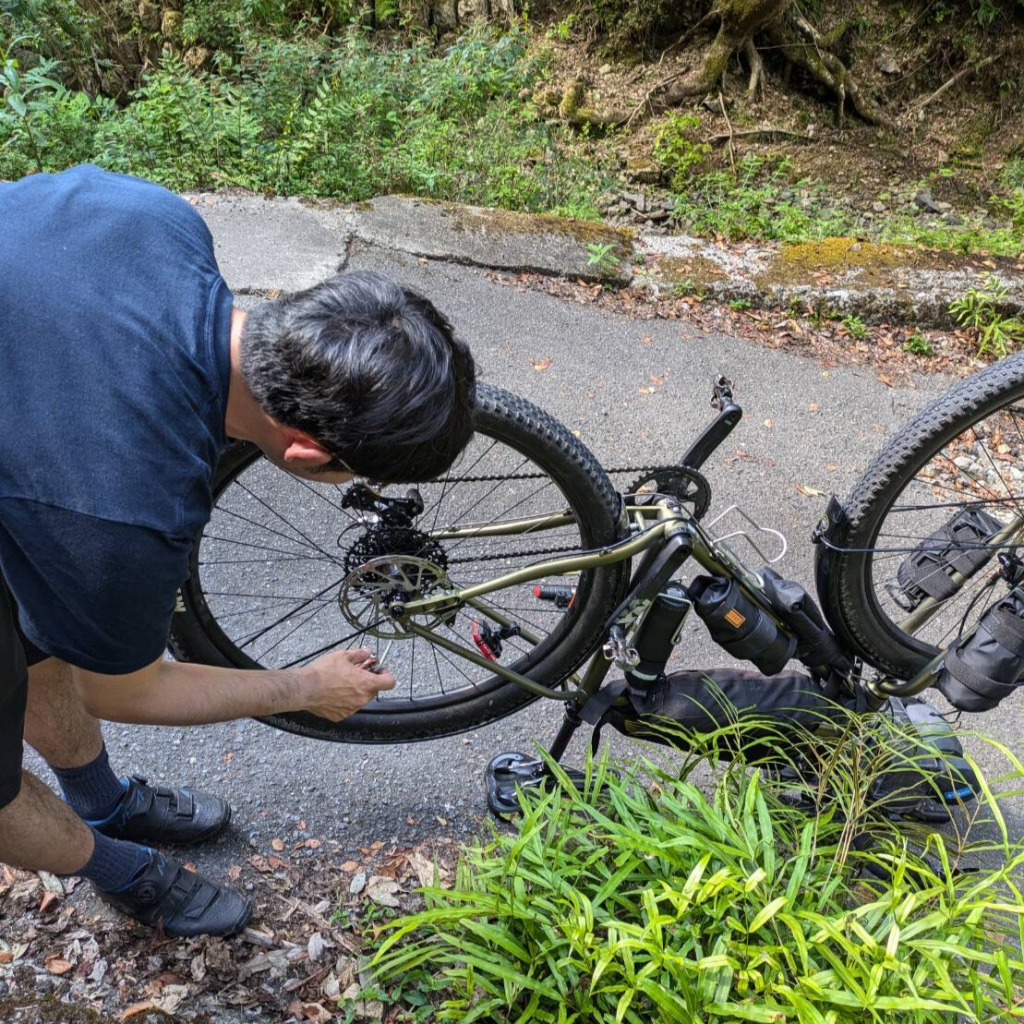
To visit Mount Koya by bicycle, it’s convenient to get off at Gokurakubashi Station on the Nankai Railway. It takes about 1 hour and 40 minutes from Namba in Osaka.
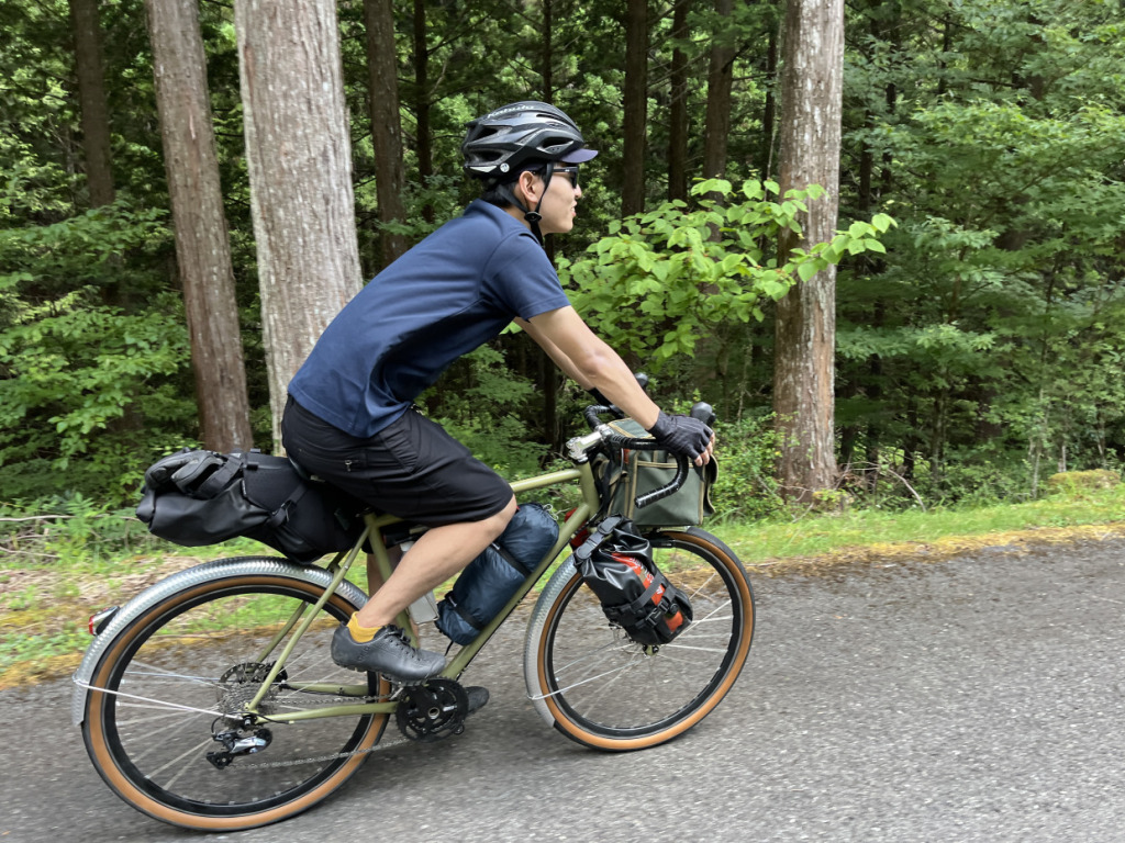
This time, I rode with a friend. When riding off-road, there’s always the risk of encountering wild animals or getting lost, so I try to ride with companions whenever possible. Since it was mid-August, we were cautious of the heat, but upon reaching Gokurakubashi Station (elevation 535m), we were greeted by a refreshing breeze.
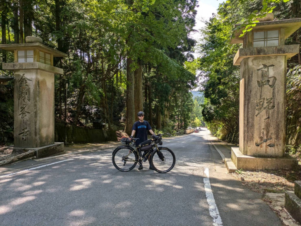
From Gokurakubashi Station, we rode along the on-road route parallel to the old Koya Kaido. It’s important to note that cycling is prohibited on certain sections of stone-paved paths, such as parts of the old Koya Kaido. Although it’s an on-road route, it’s a challenging path with an elevation gain of over 300 meters in just about 4 kilometers. However, the trail winds through the trees, allowing you to avoid direct sunlight and enjoy a cool, refreshing ride.
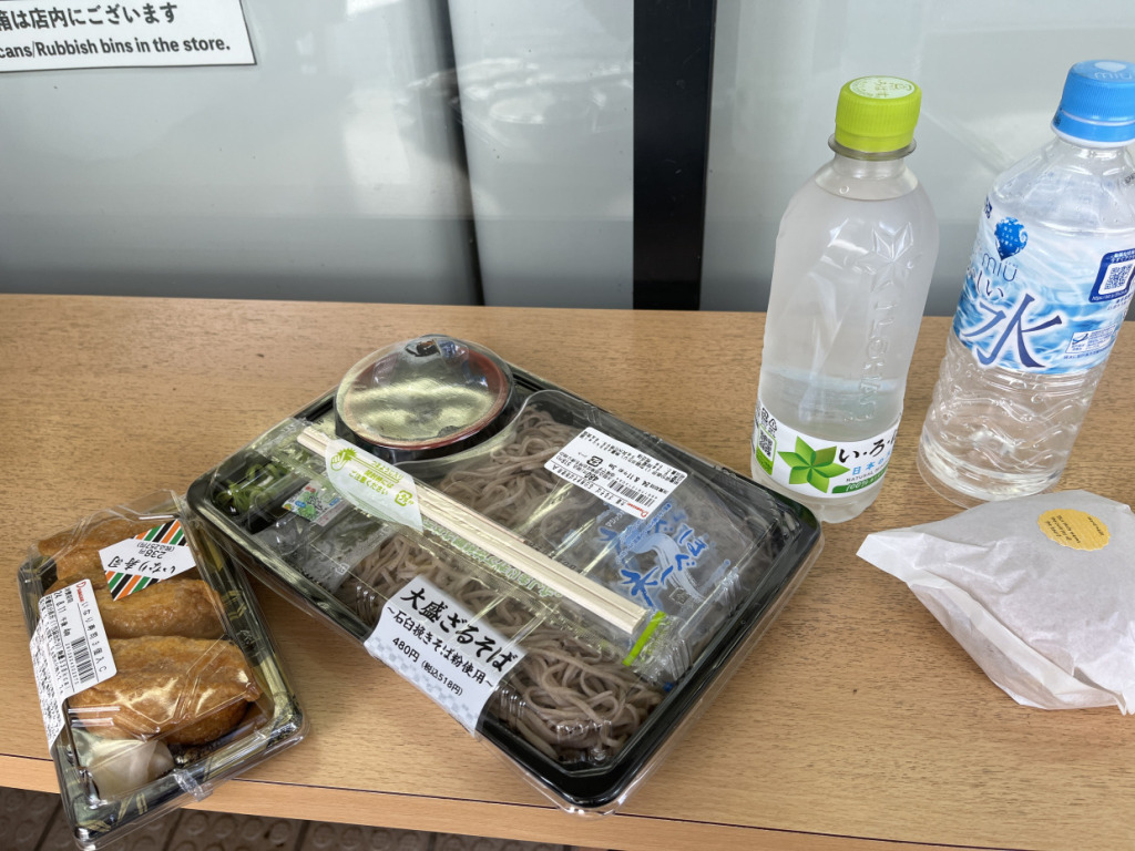
Upon arriving at Mount Koya, the first thing we did was stop at a convenience store for food and supplies. Depending on the route, but in this case, there would be no more convenience stores or restaurants for the rest of the trip, so we made sure to stock up. When traveling through the Kii Mountain Range, it’s essential to plan your food strategy carefully, including drinks. Vending machines can also be hard to find, so you need to be cautious. Additionally, many shops have limited hours, so researching in advance is crucial.
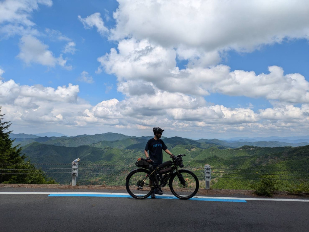
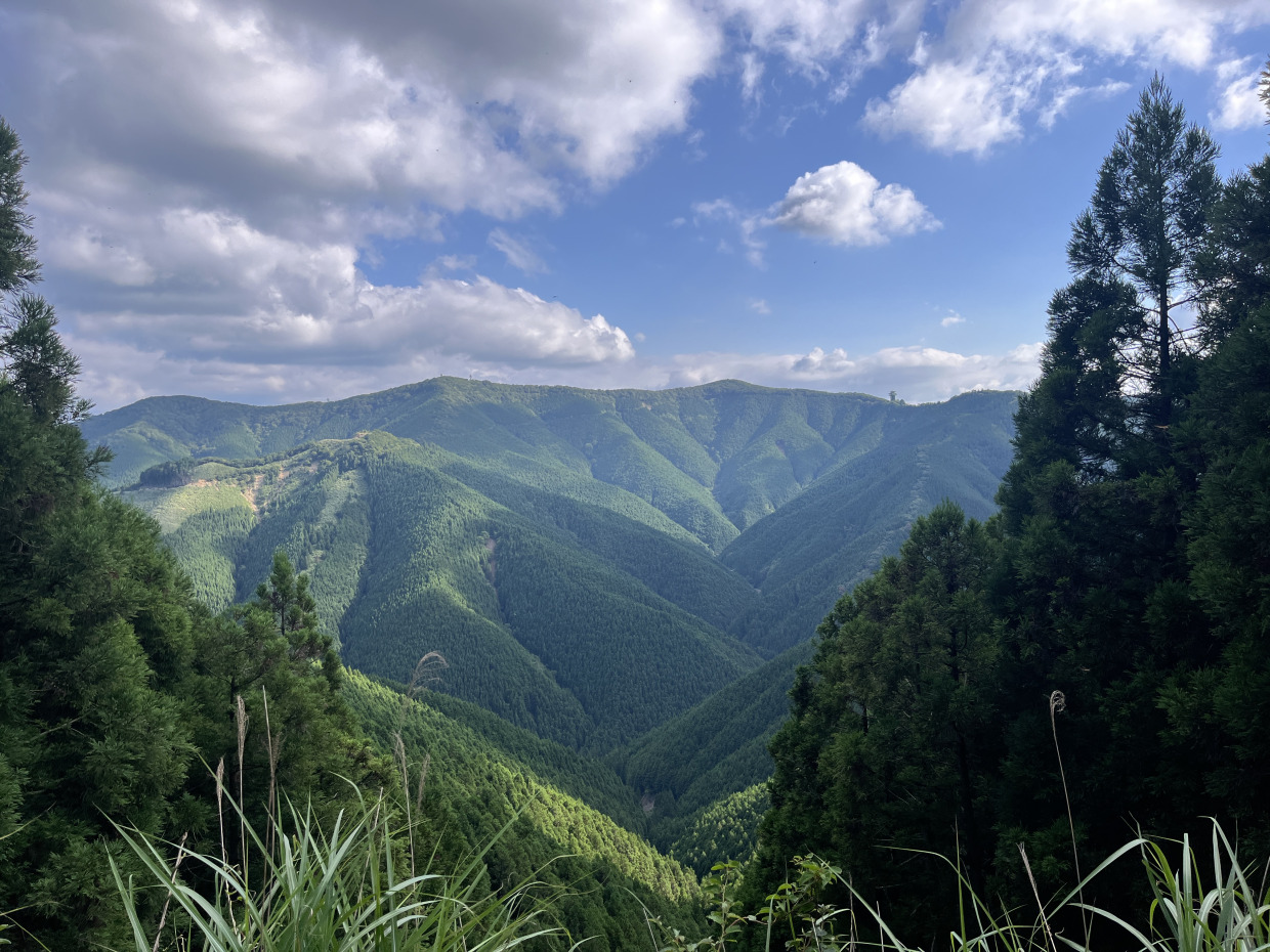
After departing from Mount Koya, we took National Route 371 and ascended the Ryujin Skyline. Climbing another 400 meters from the approximately 800-meter elevation of Mount Koya, we enjoyed breathtaking views along the ridge, overlooking the Kii Peninsula. The altitude kept the temperature at a maximum of around 28°C, even in mid-August. Since the open roads along the ridge allowed a refreshing breeze to flow through, we didn’t suffer from the heat during the summer ascent.
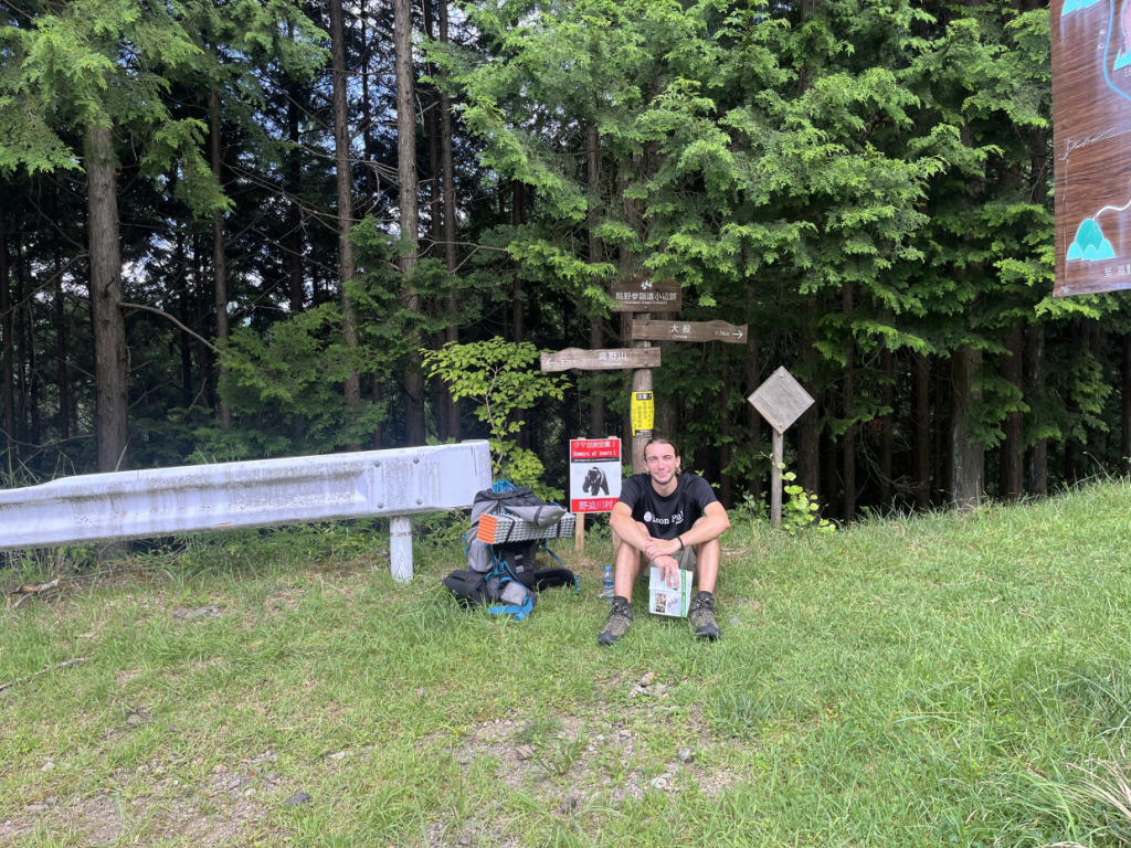
The Ryujin Skyline runs parallel to and intersects with the Kohechi section of the Kumano Kodo. Because of this, despite being a winding national road through the mountains, it’s common to encounter pedestrians and hikers. Here, I met a hiker from France.
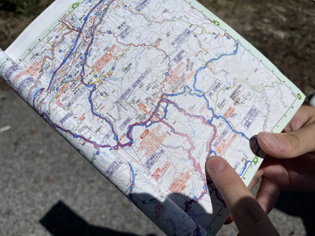
The concept of our journey this time is to aim for the Three Grand Shrines of Kumano via off-road routes. Since the Kumano Kodo cannot be cycled, we will look for and set alternative routes.
There are many forestry roads and off-road trails scattered throughout the Kii Mountain Range, so off-roaders shouldn’t have trouble choosing their paths. However, since there are many private forests, it’s important to be cautious when passing through. There are also roads that are prohibited for use, so be mindful of that. Additionally, while this is not limited to the Kii Mountain Range, off-road areas are increasingly being paved each year, meaning the scenery won’t remain the same forever. Don’t miss your chance!
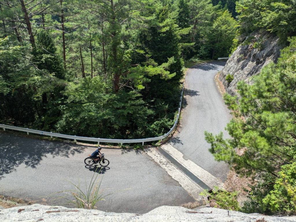
We will pass through the forestry roads in Nosegawa Village, Nara Prefecture. As soon as we step off the Ryujin Skyline toward the forestry road, we encounter steep slopes and sharp curves everywhere. You can experience the hardships of the people who have lived in these steep mountains through the ‘roads’ they have created.
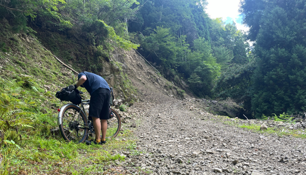
Along the way, there is no mobile phone signal, and there are no nearby houses or buildings. The Kii Mountain Range is so harsh that it creates a deeply rugged terrain. Therefore, when riding the off-road trails in the Kii Mountain Range, it’s essential to do thorough research in advance and be prepared to read not only electronic devices like smartphones but also paper maps.
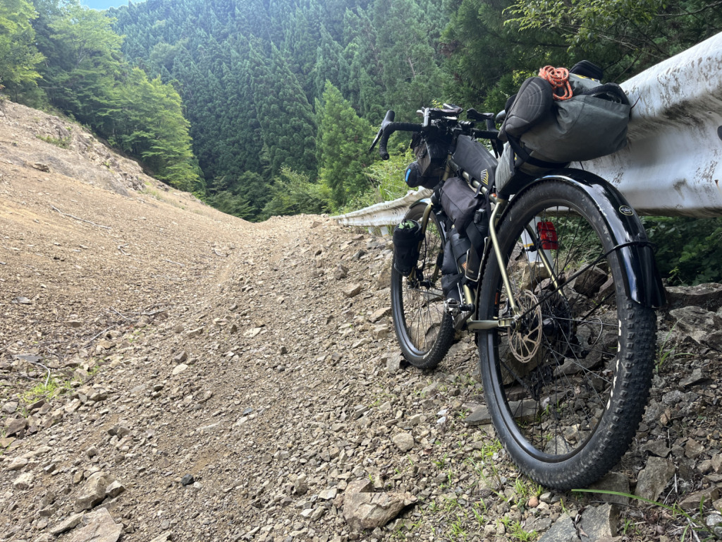
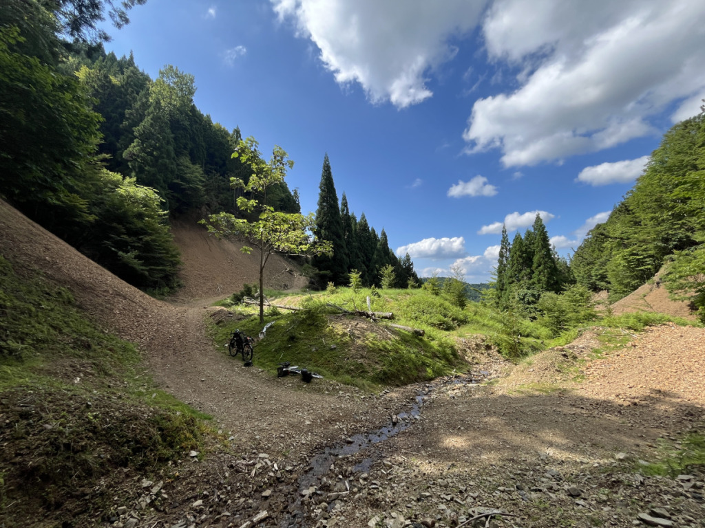
We took a break to cool our faces and bodies with the occasional spring water that appeared. We enjoyed a luxurious moment where only the sound of our bear bells and the gravel road echoed around us. It felt as if we were the only ones in the world. The off-road experience allowed us to forget the hustle and bustle of the city.
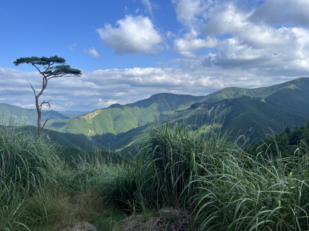
We return once again to the ridge of the mountain. With the setting sun at our backs, we quietly gaze at the Kii Mountain Range stretching into the distance. Thinking that we are seeing the same view that Kukai, who founded Mount Koya 1,200 years ago, and people from an era without bicycles saw fills me with a sense of historical romance.
<To be continued>.
🚲Today’s Course

Next Time
Gravel Enthusiasts Ride Ancient Routes #02
~ Kumano Sanzan Pilgrimage, Exquisite Tuna, Cycle Train ~
Text_Ontama Negitoro
🚲Articles by Ontama Negitoro
The Bike Travel Professional’s Guide Series
● Domestic Japan Edition 01
● Domestic Japan Edition 02
Gravel Enthusiasts Ride Ancient Routes
● Kii Mountain Range, Kumano Kodo, Off-Road
● Kumano Sanzan Pilgrimage, Exquisite Tuna, Cycle Train
Riding the 1000km Around Shikoku
● An Ultra-Distance Journey by a Gravel Enthusiast
Why Travel to Cape Soya by Bicycle?
● Welcoming the New Year at Japan’s Northernmost Point
Watch Out for Makibishi (Caltrops) !
● A Short Cycling Trip to the Ninja Village
To Taste Mackerel at Wakasa Bay!
A Parent-Child Ride Along the Saba(Mackerel) Kaido
Profile
Ontama Negitoro
Hailing from Sakai City, Osaka Prefecture, Onsen Tamago Negitoro is a company employee, writer, and the administrator of the blog “Bicycle Travel Research Society.” They have been involved in bike camping tours from a young age, having traversed almost all of Japan’s prefectures. During their university years, they were part of a bicycle club and visited over 10 countries solo by bicycle. With extensive experience in bike travel, they undertook an extreme bike camping tour across Hokkaido during the harsh winter of 2023. Recently, they have focused on long-distance rides, earning the SR title in a brevet in 2023 and completing a 1900km brevet during the 2024 Golden Week. They aim to complete PBP and LEL in the future and are also planning to actively pursue overseas bike camping tours.
Post Date:2024.10.31